Giter Club home page Giter Club logo

geoportail-kiss's Introduction

Twitter Follow visitors

🌐 Programming Languages

JS   HTML5   HTML5   C++   C++   php

🔧 Tools

Cordova   Cordova   vscode   OpenRefine   QGIS   mysql   mysql

📊 Stats

Git Stars

Main repo

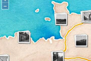
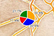
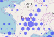
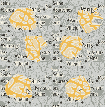
Cool extensions for OpenLayers (ol).

ol-ext is a set of extensions, controls, interactions, popup to use with Openlayers.
View live examples online or the API documentation.

Icon font set for use with GIS and spatial analysis tools

I've collected in this repo icons and graphics I've been using in my projects. Font-GIS icons and font theme is designed mainly for GIS applications and web mapping tools. They can be easily included in a project using the font or svg images.

Style for IGN's Géoservice vector tiles (TMS/WMTS)

Cartographie

#30DayMapCHallenge

Des modèles pour créer des conceptions efficaces et raconter des histoires avec des cartes.

Cette publication vous donne un aperçu des possibilités offertes par les nouveaux outils du géoweb pour manipuler des données sur des cartes et les mettre en ligne. Elle montre comment bénéficier de la géoinformation en tant qu'individus ou société, pour des utilisations en politique, dans les affaires, dans la recherche ou dans l'éducation.

Jeu de rôle en solitaire qui se joue en ligne sur les cartes et photographies aériennes de l'IGN. Entre survie et rencontres, vous incarnez un personnage en fuite dans la campagne française.

geoportail-kiss's People

Contributors

viglino avatar

Stargazers

 avatar  avatar  avatar  avatar  avatar  avatar  avatar  avatar  avatar  avatar  avatar  avatar

Watchers

 avatar  avatar  avatar  avatar

geoportail-kiss's Issues

Création image depuis flux geoportail

Bonjour,

J'ai beaucoup appris avec le site geopole sur l'api geoportail depuis que je travaille sur des applis carto web. Je me permets de vous écrire pour un obstacle que je rencontre.

J'utilise l'api Geoportail avec leaflet avec de nombreuses applis carto web. cela marche très bien. Maintenant je veux aller plus loin, c'est pourvoir mettre dans un PDF une extraction - partie de la carte IGN courante - depuis des coordonnées passée dans l'url et aussi passé un geojson pour qu'un point apparaisse aussi.
J'ai trouvé comment faire avec un flux mapbox : voir le lien suivant : https://jsfiddle.net/fexymjy3/11/ et je l'ai mis dans jsfiddle https://jsfiddle.net/sig_pnv/6w5nqj22/ donc avec un flux mapbox voici ce qu'il faut faire :
FLUX INITIAL dans un objet map
https://api.tiles.mapbox.com/v4/{id}/{z}/{x}/{y}.png?access_token=pk.eyJ1IjoibWFwYm94IiwiYSI6ImNpandmbXliNDBjZWd2M2x6bDk3c2ZtOTkifQ._QA7i5Mpkd_m30IGElHziw
FLUX pour créer une image
var imageUrl = "https://api.tiles.mapbox.com/v4/mapbox.streets/geojson("+ encodedData+")/"+ center.lng+","+center.lat+","+mymap._zoom+"/400x400.png?access_token=pk.eyJ1IjoiZGF2aWRsb3R0IiwiYSI6IjdlNmU1ZWUyMDE5MDcwMDQ5YTNiN2IyZTIzYjZkNTg5In0.sDTxz1C0DTl3UH7AguCBXg";

J'aimerais bien faire cela avec un flux geoportail
var imageUrl = "https://gpp3-wxs.ign.fr/maclé/geoportail/wmts?LAYER=GEOGRAPHICALGRIDSYSTEMS.MAPS&EXCEPTIONS=text/xml&FORMAT=image/jpeg&SERVICE=WMTS&VERSION=1.0.0&REQUEST=GetTile&STYLE=normal&TILEMATRIXSET=PM&TILEMATRIX={z}&TILEROW={y}&TILECOL={x}";
J'ai essayé quelques solution sans succès. J'ai l'impression que vous matisez bien la carto sur la web. Avez vous une idée pour créer une image depuis un flux geoportail en apportant des coordonnées de position et dans la meilleur des cas passer un geojson pour afficher un vecteur.

Je vous remercie d'avance.

@Chrispnv

Recommend Projects

  • React photo React

    A declarative, efficient, and flexible JavaScript library for building user interfaces.

  • Vue.js photo Vue.js

    🖖 Vue.js is a progressive, incrementally-adoptable JavaScript framework for building UI on the web.

  • Typescript photo Typescript

    TypeScript is a superset of JavaScript that compiles to clean JavaScript output.

  • TensorFlow photo TensorFlow

    An Open Source Machine Learning Framework for Everyone

  • Django photo Django

    The Web framework for perfectionists with deadlines.

  • D3 photo D3

    Bring data to life with SVG, Canvas and HTML. 📊📈🎉

Recommend Topics

  • javascript

    JavaScript (JS) is a lightweight interpreted programming language with first-class functions.

  • web

    Some thing interesting about web. New door for the world.

  • server

    A server is a program made to process requests and deliver data to clients.

  • Machine learning

    Machine learning is a way of modeling and interpreting data that allows a piece of software to respond intelligently.

  • Game

    Some thing interesting about game, make everyone happy.

Recommend Org

  • Facebook photo Facebook

    We are working to build community through open source technology. NB: members must have two-factor auth.

  • Microsoft photo Microsoft

    Open source projects and samples from Microsoft.

  • Google photo Google

    Google ❤️ Open Source for everyone.

  • D3 photo D3

    Data-Driven Documents codes.