![]()
Landfall is a Python package with easy to use functions for plotting geographic data on a static map.
The source code is currently hosted on GitHub at: https://github.com/eddiethedean/landfall
# PyPI
pip install landfall- py-staticmaps - A python module to create static map images (PNG, SVG) with markers, geodesic lines, etc.
- distinctipy - A lightweight package for generating visually distinct colours.
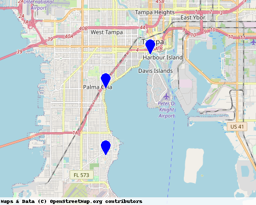
import landfall


lats = [27.88, 27.92, 27.94]
lons = [-82.49, -82.49, -82.46]

landfall.plot_points(lats, lons)