Giter Club home page Giter Club logo

d3-geo-polygon's Introduction

d3-geo-polygon

Clipping and geometric operations for spherical polygons.

world map
const projection = geoDodecahedral();

This module introduces a dozen projections that need polygon clipping. It can also be used to clip a projection with an arbitrary polygon:

const projection = geoEquirectangular()
    .preclip(geoClipPolygon({
      type: "Polygon",
      coordinates: [[[-10, -10], [-10, 10], [10, 10], [10, -10], [-10, -10]]]
    }));

Installing

In Observable Framework, import with the npm: protocol:

<script type="module">
import {geoCubic} from "npm:d3-geo-polygon@2";
const projection = geoCubic();
</script>

If you use npm, npm install d3-geo-polygon. You can also download the latest release on GitHub. For vanilla HTML in modern browsers, import d3-geo-polygon from Skypack:

<script type="module">
import {geoCubic} from "https://cdn.skypack.dev/d3-geo-polygon@2";
const projection = geoCubic();
</script>

For legacy environments, you can load d3-geo-projection’s UMD bundle from an npm-based CDN such as jsDelivr; a d3 global is exported:

<script src="https://cdn.jsdelivr.net/npm/d3-array@3"></script>
<script src="https://cdn.jsdelivr.net/npm/d3-geo@3"></script>
<script src="https://cdn.jsdelivr.net/npm/d3-geo-polygon@2"></script>
<script>

const projection = d3.geoCubic();

</script>
Daily downloads of d3-geo-polygon

Daily downloads of d3-geo-polygon · oss-analytics

API Reference

# d3.geoClipPolygon(polygon) · Source, Examples

Given a GeoJSON polygon or multipolygon, returns a clip function suitable for projection.preclip.

# clip.polygon([geometry])

If geometry is specified, sets the clipping polygon to the geometry and returns a new clip function. Otherwise returns the clipping polygon.

# clip.clipPoint([clipPoint])

Whether the projection should clip points. If clipPoint is false, the clip function only clips line and polygon geometries. If clipPoint is true, points outside the clipping polygon are not projected. Typically set to false when the projection covers the whole sphere, to make sure that all points —even those on the edge of the clipping polygon— get projected.

# d3.geoIntersectArc(arcs) · Source, Examples

Given two spherical arcs [point0, point1] and [point2, point3], returns their intersection, or undefined if there is none. See “Spherical Intersection”.

Projections

New projections are introduced:

# d3.geoPolyhedralVoronoi([parents], [polygons], [faceProjection], [faceFind]) · Source

Returns a polyhedral projection based on the polygons, arranged in a tree.

The tree is specified by passing parents, an array of indices indicating the parent of each face. The root of the tree is the first face without a parent (with the array typically specifying -1).

polygons are a GeoJSON FeatureCollection of geoVoronoi cells, which should indicate the corresponding sites (see d3-geo-voronoi). An optional faceProjection is passed to d3.geoPolyhedral() -- note that the gnomonic projection on the polygons’ sites is the only faceProjection that works in the general case.

The .parents([parents]), .polygons([polygons]), .faceProjection([faceProjection]) set and read the corresponding options. Use .faceFind(voronoi.find) for faster results.

# d3.geoCubic() · Source, Examples

world map

The cubic projection.

# d3.geoDodecahedral() · Source, Examples

world map

The pentagonal dodecahedral projection.

# d3.geoRhombic() · Source, Examples

world map

The rhombic dodecahedral projection.

# d3.geoDeltoidal() · Source, Examples

world map

The deltoidal hexecontahedral projection.

# d3.geoIcosahedral() · Source, Examples

world map

The icosahedral projection.

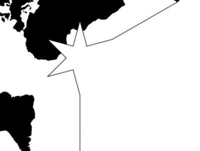
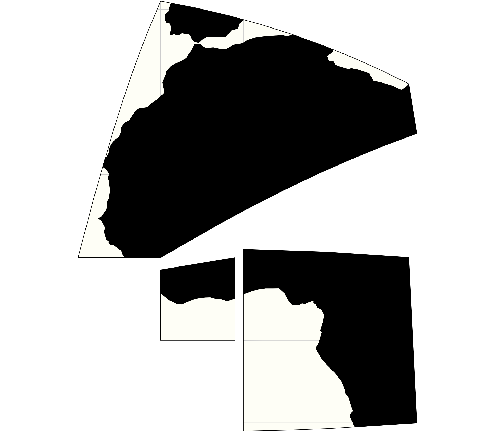
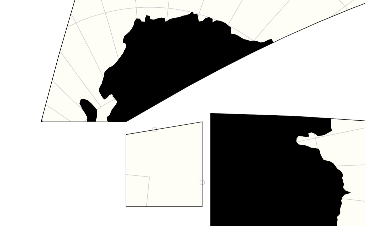
# d3.geoAirocean() · Source, Examples

world map

Buckminster Fuller’s Airocean projection (also known as “Dymaxion”), based on a very specific arrangement of the icosahedron which allows continuous continent shapes. Fuller’s triangle transformation, as formulated by Robert W. Gray (and implemented by Philippe Rivière), makes the projection almost equal-area.

# d3.geoCahillKeyes() · Source, Examples
# d3.geoCahillKeyes

world map

The Cahill-Keyes projection, designed by Gene Keyes (1975), is built on Bernard J. S. Cahill’s 1909 octant design. Implementation by Mary Jo Graça (2011), ported to D3 by Enrico Spinielli (2013).

# d3.geoImago() · Source, Examples

world map

The Imago projection, engineered by Justin Kunimune (2017), is inspired by Hajime Narukawa’s AuthaGraph design (1999).

# imago.k([k])

Exponent. Useful values include 0.59 (default, minimizes angular distortion of the continents), 0.68 (gives the closest approximation of the AuthaGraph) and 0.72 (prevents kinks in the graticule).

# imago.shift([shift])

Horizontal shift. Defaults to 1.16.

# d3.geoTetrahedralLee() · Source, Examples
# d3.geoLeeRaw

world map

Lee’s tetrahedral conformal projection.

# Default angle is +30°, apex up (-30° for base up, apex down).

Default aspect uses projection.rotate([30, 180]) and has the North Pole at the triangle’s center -- use projection.rotate([-30, 0]) for the South aspect.

# d3.geoCox() · Source, Examples
# d3.geoCoxRaw

world map

The Cox conformal projection.

# d3.geoComplexLog([planarProjectionRaw[, cutoffLatitude]]) · Source, Example
# d3.geoComplexLogRaw([planarProjectionRaw])

world map

Complex logarithmic view. This projection is based on the papers by Joachim Böttger et al.:

The specified raw projection planarProjectionRaw is used to project onto the complex plane on which the complex logarithm is applied. Recommended are azimuthal equal-area (default) or azimuthal equidistant.

cutoffLatitude is the latitude relative to the projection center at which to cutoff/clip the projection, lower values result in more detail around the projection center. Value must be < 0 because complex log projects the origin to infinity.

# complexLog.planarProjectionRaw([projectionRaw])

If projectionRaw is specified, sets the planar raw projection. See above. If projectionRaw is not specified, returns the current planar raw projection.

# complexLog.cutoffLatitude([latitude])

If latitude is specified, sets the cutoff latitude. See above. If latitude is not specified, returns the current cutoff latitude.

Updated projections

d3-geo-polygon adds polygon clipping to the polyhedral and interrupted projections from d3-geo-projection. Thus, it supersedes the following symbols:

# d3.geoPolyhedral(tree, face) · Source, Examples

Defines a new polyhedral projection. The tree is a spanning tree of polygon face nodes; each node is assigned a node.transform matrix. The face function returns the appropriate node for a given lambda and phi in radians.

Polyhedral projections’ default clipPoint depends on whether the clipping polygon covers the whole sphere. When the polygon’s area is almost complete (larger than 4π minus .1 steradian), clipPoint is set to false, and all point geometries are displayed, even if they (technically) fall outside the clipping polygon. For smaller polygons, clipPoint defaults to true, thus hiding points outside the clipping region.

# polyhedral.tree() returns the spanning tree of the polyhedron, from which one can infer the faces’ centers, polygons, shared edges etc.

# d3.geoPolyhedralButterfly() · Source

world map

The gnomonic butterfly projection.

# d3.geoPolyhedralCollignon() · Source

world map

The Collignon butterfly projection.

# d3.geoPolyhedralWaterman() · Source

world map

A butterfly projection inspired by Steve Waterman’s design.

# d3.geoBerghaus · Source

world map

The Berghaus projection.

# d3.geoGingery · Source

world map

The Gingery projection.

# d3.geoHealpix · Source

world map

The HEALPix projection.

# d3.geoInterruptedBoggs · Source

world map

Bogg’s interrupted eumorphic projection.

# d3.geoInterruptedHomolosine · Source

world map

Goode’s interrupted homolosine projection.

# d3.geoInterruptedMollweide · Source

world map

Goode’s interrupted Mollweide projection.

# d3.geoInterruptedMollweideHemispheres · Source

world map

The Mollweide projection interrupted into two (equal-area) hemispheres.

# d3.geoInterruptedSinuMollweide · Source

world map

Alan K. Philbrick’s interrupted sinu-Mollweide projection.

# d3.geoInterruptedSinusoidal · Source

world map

An interrupted sinusoidal projection with asymmetrical lobe boundaries.

# d3.geoTwoPointEquidistant(point0, point1) · Source

The two-point equidistant projection, displaying 99.9996% of the sphere thanks to polygon clipping.

# d3.geoTwoPointEquidistantUsa() · Source

world map

The two-point equidistant projection with points [-158°, 21.5°] and [-77°, 39°], approximately representing Honolulu, HI and Washington, D.C.

Note: These re-clipped projections are not supported in the legacy UMD bundle.

d3-geo-polygon's People

Contributors

fil avatar mbostock avatar dependabot[bot] avatar goszczynskip avatar biosmanager avatar rbathoorn avatar stof avatar

Stargazers

Thomas Ansart avatar Leonel Dias avatar Kersten avatar  avatar  avatar Dysphaël avatar  avatar Ryotaro Onoue avatar Vinh Cao avatar Ophir Lifshitz avatar  avatar Ala Eddine Menai avatar Ben avatar Coby White avatar Sean P. Myrick V19.1.7.2 avatar KBΓΓR avatar Jinghao Hu avatar Dtmy avatar Amit Kumar avatar Miss Chervinsky avatar Adam avatar Kevin Anchukaitis avatar  avatar Lei Yang avatar Bankn8II©$A avatar Sean McMenamin avatar Allan Crisostomo avatar Rachel Carvalho avatar Lingdong Wang avatar Jonathan Lurie avatar Ayush Kumar avatar  avatar Majd Al-Shihabi avatar Keany Vy KHUN avatar Paul Murray avatar  avatar Jacob Rus avatar suxi avatar  avatar Ed avatar Arif Hanif avatar  avatar Petr Stříbný avatar Sibelius Seraphini avatar logical avatar Tarun Chaudhry avatar Eoghan Murray avatar jon ⚝ avatar Henry Goodwin avatar chuby avatar Jason Harmon avatar Luca Bonavita avatar Raymond Seger avatar Fabion Kauker avatar  avatar Benjamin De Kosnik avatar Arnþór Ágústsson avatar  avatar Miguel Salazar avatar Ger Hobbelt avatar Alex Zherebtsov avatar Shakti Ranjan avatar Exequiel Ceasar Navarrete avatar Ivo Yankulovski avatar Volodymyr Agafonkin avatar Alexis Hope avatar Mitchell Tannenbaum avatar Sean Willis avatar  avatar Thomas Gratier avatar zacklocx avatar orange avatar Jac avatar Michael Treanor avatar Bobby avatar Denis Denisov avatar Farid Aliev avatar Friedrich Hartmann avatar YusifE avatar Olivier Fox avatar Jacob Wasilkowski avatar Joshua Byrd avatar leledavid avatar André Ourednik avatar Fabien Engels avatar  avatar Jake Low avatar Óscar avatar Alex Yule avatar Sjoerd de Jong avatar  avatar  avatar Matthias Treitler avatar Cody Littlewood avatar  avatar  avatar Chee Aun avatar Georgios Kaleadis avatar  avatar Tesla Lee avatar

Watchers

 avatar Farid Aliev avatar Jacob Rus avatar Bobby avatar  avatar  avatar timelyportfolio avatar James Cloos avatar Martín González Gómez avatar Adam avatar Kevin Nguyen avatar Nicolas Lambert avatar  avatar Sean P. Myrick V19.1.7.2 avatar  avatar

d3-geo-polygon's Issues

Use clipPolygon for geoInterrupted

example code that works (at least in one test case):

var c = projection.lobes().map(d => d3.merge(d.map(q => {
  var centroid = d3.geoCentroid({type:"MultiPoint", coordinates:q});
  return q.map(p => d3.geoInterpolate(p,centroid)(1e-7)); // pull inside each lobe
})));
c = d3.merge([c[0], c[1].reverse()]); // north, south
projection.preclip(d3.geoClipPolygon({ type: "Polygon", coordinates: [c] }));

capture d ecran 2018-04-19 a 09 31 17

the projection was defined by:

    var lobes = [
      [
        [[-180, 0], [-130, 90], [-95, 0]],
        [[-95, 0], [-30, 90], [55, 0]],
        [[55, 0], [120, 90], [180, 0]]
      ],
      [
        [[-180, 0], [-120, -90], [-60, 0]],
        [[-60, 0], [20, -90], [85, 0]],
        [[85, 0], [140, -90], [180, 0]]
      ]
    ];
    projection = d3.geoInterrupt(d3.geoHomolosineRaw, lobes).rotate([-204, 0])
    .fitExtent([[10, 10], [width-10, height-10]], {type: "Sphere"});

Clean up Waterman / Cahill

The issue is described here: d3/d3-geo-projection#125

To sum up this would need to:

  • introduce geoCahill1909 (which would be geoPolyhedralWaterman but with the inferior choice of angles from Cahill's original — and that could be a parameter of course), and be mindful of the face projection used in 1909
  • create a "true" geoWaterman with Antarctica cut out (see also #11)
  • obsolete geoPolyhedralWaterman

Tetrahedral Lee: Inverse broken?

Hello,

the inverse of the Tetrahedral Lee does not seem to work.
I’ve used the script by @cambeccsee here – to try this. Here is a demo, on top is the Imago projection where the inverse works (everything’s filled with blue pixels) but on the Lee, I only get a red triangle.

Am I doing something wrong or is the inverse broken?

Kind regards,
Tobias

planar polygon clipping

The Imago projection needs to use polygon clipping; but it seems a bit absurd that we are doing spherical clipping (with 200 control points computed as the inverse of 200 planar points) just to do what is in the end a simple rectangular clipping. The thing is tricky because, so close to the limit, the spherical interpolation between control points might jump from one side to the other.

geoDesic

Hi,

I was messing around again and created a v2 geoDesic projection. I starts of with the icosahedron and splits up the triangle in sub triangles. For a v2 a triangle is split up into 4 sub triangles.

Here is an example
image

I am currently working on making the projection parametric so geoDesic(2) would create a v2 and geoDesic(3) would create a v3.

If you are interested in adding this I can create a pull request.

Legacy UMD bundle not working for re-clipped projections

Because we reexport some projections (say, geoGingery) under the same name, when combining the UMD bundles for d3-geo-polygon and d3-geo-projection, we get either the unclipped projection from d3-geo-projection (if it was loaded after d3-geo-polygon), or a recursion loop (if it was loaded before).

If someone really cannot upgrade their environment to ESM and must have a reclipped gingery, they will have to manually copy the code from https://github.com/d3/d3-geo-polygon/blob/main/src/reclip.js

For example:

<script src="https://cdn.jsdelivr.net/npm/d3-array@3"></script>
<script src="https://cdn.jsdelivr.net/npm/d3-geo@3"></script>
<script src="https://cdn.jsdelivr.net/npm/d3-geo-polygon@2"></script>
<script src="https://cdn.jsdelivr.net/npm/d3-geo-projection@3"></script>
<script>

function reclip(projection, vertical = false) {
  const {lobes} = projection;
  function reset(projection) {
    const rotate = projection.rotate();
    const scale = projection.scale();
    const translate = projection.translate();
    projection.rotate([0, 0]).translate([0, 0]);
    projection.lobes = function (_) {
      return !arguments.length ? lobes() : reset(lobes(_));
    };

    projection.preclip((stream) => stream); // clipNone
    const R = 1 - 1e-7;
    const Rx = vertical ? 1 : R;
    let points = [];
    projection
      .stream({
        point(x, y) {
          points.push([x * Rx, y * R]);
        },
        lineStart() {},
        lineEnd() {},
        polygonStart() {},
        polygonEnd() {},
        sphere() {},
      })
      .sphere();

    projection.scale(scale);
    points = points.map(projection.invert);
    points.push(points[0]);

    return projection
      .rotate(rotate)
      .translate(translate)
      .preclip(d3.geoClipPolygon({ type: "Polygon", coordinates: [points] }));
  }
  return reset(projection);
}

const projection = reclip(d3.geoGingery());

</script>

I added a footnote to the README (and have no plans to spend more time on this).

d3.geoVoronoi() is not (yet) existing?

First, thanks for your great contributions regarding projections in D3. I have been playing with your new added projections in this d3-geo-polygon extension in combination with vega. Firstly I used the airocean projection to cut and engrave some wood using laser and liked the result¹.

But now having seen these maps on https://beta.observablehq.com/@fil/speed-of-the-voronoi-projection I would love to play with this projection as well.

I used the method as mentioned in the notebook:

The following map was made with the Voronoi projection — available as d3.geoVoronoi() in d3-geo-polygon.

When I try to use this:
projection = d3.geoVoronoi()

I receive:
TypeError: d3.geoVoronoi is not a function

Question: I'm trying features that are not yet available? or do I call them wrongly?

¹ Click to expand

img_1049
img_1050

named imports fail in webpack build.

Trying to bundle this in a webpack-based app, I find it breaks because it assumes a hardcoded location for node_modules in many places, eg (from here).

import {abs, degrees, epsilon, radians} from "../../node_modules/d3-geo-projection/src/math";
import {default as matrix, multiply, inverse} from "../../node_modules/d3-geo-projection/src/polyhedral/matrix";

yielding many errors like

ERROR in ./node_modules/d3-geo-polygon/src/polyhedral/waterman.js
Module not found: Error: Can't resolve '../../node_modules/d3-geo-projection/src/math' in '/home/bschmidt/project/node_modules/d3-geo-polygon/src/polyhedral'

Since I'm also requiring d3-geo-projection, these files are not inside the d3-geo-polygon folder: they're located at something like '../../../node_modules', maybe a level higher.

I'm able to get a successful install by just removing the prefix in all javascript files and importing straight from (eg) d3-geo-projection/src/math

~/project/node_modules/d3-geo-polygon/ find . -name "*.js" | xargs -I {} -n 1 perl -pi -e 's/\..\/\..\/node_modules\///g' {}

Can file a pull request if desired, but I don't know if that fix will break in other locations.

Thanks!

Node >10.17.0 support

This package is constrained to node ">=6.0.0 <=10.17.0". Using this package with maintained node versions without ignoring engines constraint isn't possible. Is there any reason why this constraint is present in d3-geo-polygon package.json?

Part of API doesn't seem to rely on node internals eg. geoArcIntersect. Maybe if part of API needs old node version it'll be good idea to move independent code parts into other package.

is it possible to only draw some of the faces?

i can only draw the first face by setting .parents([-1])

but if i only wanted to draw for example the first 3 faces of a cube would that be possible?

i have this question as i like to laser cut the faces out of would an turn them into a globe.
Drawing only a few faces would make it easier to fit on the laser cutter.

faster Voronoi projection

see https://beta.observablehq.com/@fil/speed-of-the-voronoi-projection

The projection is 100x faster if it can use geovoronoi.find() to know to which face a point belongs. In my local branch, I've solved this by allowing to pass a faceFind function.

But should we limit ourselves to this, or be bolder and pass a full geoVoronoi object (which would also help in finding shared edges much faster, by using the delaunay topology)?

Can this library be used with other projections?

Namely, d3.geoAlbers? I am trying to use preclipping and am getting very strange results.

More to the point.
Polygon 1:
[ [ [ 30, 60 ], [ 90, 60 ], [ 90, 30 ], [ 30, 30 ], [ 30, 60 ] ] ]
Polygon 2:
[ [ [ 45, 75 ], [ 75, 75 ], [ 75, 15 ], [ 45, 15 ], [ 45, 75 ] ] ]

Projection:
d3.geoAlbers() .rotate([-105, 0]) .center([-10, 65]) .parallels([52, 64]);

Below is a picture made in qGis, cyan polygon (P2) is being clipped, green is the one doing the clipping (P1) (the one passed to geoClipPolygon and the result passed to preclip). Both polygons are already projected (but not preclipped).
intersection

After projecting, P2 is null.

Tried adding parents to TetrahedralLee

Hi,

i made some changes to TetrahedralLee so i can add parents and it also supports setting the root of the tree in other places than faces[0]. I added it to my fork here if you want to see.

Here are some images created whith the snapshot unittests

tetra1
tetra2
tetra3
tetra4

i also tried generating svg's but that is not working flawless yet.

epsilon3 and intersect(a, b)

From Jason Davies's code (ported in 82d9481#diff-1955ba130f17ffd3f1a5db97ee798e02R13 ), there was an epsilon2 test in this function.

Somehow it allowed lines to escape the clipping on some occasions, so I lowered it to epsilon3 in 202e604 and got much less errors.

But it still happens, and the fix is to get rid of any epsilon and compare the values with 0.

capture d ecran 2018-02-22 a 12 10 13
capture d ecran 2018-02-22 a 12 10 07

I wonder what I'm missing (in which cases this value should be st. positive), but testing in all my examples seems to be OK with 0 instead of epsilon3.

Easier usage with d3.geoProject?

It’d be nice if this library were easier to use when saving spherically-clipped GeoJSON. For example:

https://beta.observablehq.com/d/d706c7f9c6e46907

The tedious parts are:

  • You need to wrap the d3.geoClipPolygon instance with an object that has a stream method.

  • You need to compose the d3.geoClipPolygon instance with streams that transform from degrees to radians and then back again.

Part of me wonders if it’s worth revisiting a more composable geographic projection pipeline…

(Also, I think d3.geoProject sometimes breaks polygon semantics, but that’s a separate issue.)

rhombic dodecahedron test produces weird results probably something i am missing

So i was trying to create a rhombic dodecahedron projection but there is something weird going on with the clipping

rhombic_f = {
  var degrees = 180 / Math.PI;
  var phi1 = Math.atan(Math.SQRT1_2) * degrees;
  var vertices = [
    [0, 90],      // 0
    [0, phi1],    // 1
    [90, phi1],   // 2
    [180, phi1],  // 3
    [-90, phi1],  // 4
    [45, 0],      // 5
    [135, 0],     // 6
    [-135, 0],     // 7
    [-45, 0],     // 8
    [0, -phi1],   // 9
    [90, -phi1],  // 10
    [180, -phi1], // 11
    [-90, -phi1], // 12
    [0, -90]      // 13
  ];
    
  // rhombic dodecahedron
  var polyhedron = [
    [0, 1, 8, 4],
    [0, 2, 5, 1],
    [0, 3, 6, 2],
    [0, 4, 7, 3],

    [1, 5, 9, 8],
    [2, 6, 10, 5],
    [3, 7, 11, 6],
    [4, 8, 12, 7],

    [8, 9, 13, 12],
    [5, 10, 13, 9],
    [6, 11, 13, 10],
    [7, 12, 13, 11]
  ].map(function(face) {
          return face.map(function(i) {
            return vertices[i];
          });
  });

  var polygons = {
    type: "FeatureCollection",
    features: polyhedron.map(function(face) {
      face.push(face[0]);
      return {
        properties: { sitecoordinates: d3.geoCentroid({type:"MultiPoint", coordinates: face}) },
        geometry: {
          type: "Polygon",
          coordinates: [ face ]
        }
      };
    })
  };

var parents = [
      -1, // 0
      0, // 1
      6, // 2
      2, // 3
      1, // 4
      9, // 5
      11, // 6
      3, // 7
      4, // 8
      8, // 9
      5, // 10
      10, // 11
    ];

  //return polygons;
  return d3.geoPolyhedralVoronoi()
   .parents(parents)
   .polygons(polygons);
};

i numbered the faces in the image below and there should be red lines around all the faces. This is a combination of the cubic and the octahedron projection.

image

MultiPolygon clipping

The multipolygon branch is a first step towards #9 and #11.

There is a demo here:
https://beta.observablehq.com/d/368627e7d1bcc0cb

each polygon is processed in turn.

multipolygon clipping 1

There are still a few bugs though — as you can see if you rotate the map in the demo, there are sometimes mix-ups in the variables that control the points' visibility, resulting in dots for points that should belong to a polygon, or in full-white surfaces that should be full-black.

capture d ecran 2018-09-12 a 22 26 28

capture d ecran 2018-09-12 a 22 25 58

Recommend Projects

  • React photo React

    A declarative, efficient, and flexible JavaScript library for building user interfaces.

  • Vue.js photo Vue.js

    🖖 Vue.js is a progressive, incrementally-adoptable JavaScript framework for building UI on the web.

  • Typescript photo Typescript

    TypeScript is a superset of JavaScript that compiles to clean JavaScript output.

  • TensorFlow photo TensorFlow

    An Open Source Machine Learning Framework for Everyone

  • Django photo Django

    The Web framework for perfectionists with deadlines.

  • D3 photo D3

    Bring data to life with SVG, Canvas and HTML. 📊📈🎉

Recommend Topics

  • javascript

    JavaScript (JS) is a lightweight interpreted programming language with first-class functions.

  • web

    Some thing interesting about web. New door for the world.

  • server

    A server is a program made to process requests and deliver data to clients.

  • Machine learning

    Machine learning is a way of modeling and interpreting data that allows a piece of software to respond intelligently.

  • Game

    Some thing interesting about game, make everyone happy.

Recommend Org

  • Facebook photo Facebook

    We are working to build community through open source technology. NB: members must have two-factor auth.

  • Microsoft photo Microsoft

    Open source projects and samples from Microsoft.

  • Google photo Google

    Google ❤️ Open Source for everyone.

  • D3 photo D3

    Data-Driven Documents codes.