Comments (15)
 lilleyse
commented on May 24, 2024
1
lilleyse
commented on May 24, 2024
1
Yeah, that's correct about b3dm and the json file.
If you just have a bunch of b3dm files, the two things you need to do are:
- Decide on a tree structure to use in the json file. The simplest tree structure would be an empty root node with child nodes that point to the b3dm files.
- Compute a bounding volume for each b3dm. If you don't have that information available already you can usually extract that information from the glTF embedded in the b3dm by looking at the position accessor's min/max values. Check out glTF Geometry section for more background on glTF.
from 3d-tiles-validator.
lilleyse
commented on May 24, 2024
You need to build a tileset.json file that points to the b3dm. Check out some of the samples here: https://github.com/AnalyticalGraphicsInc/3d-tiles-samples
from 3d-tiles-validator.
 iWun
commented on May 24, 2024
iWun
commented on May 24, 2024
@lilleyse thanks for replying.I have studied some samples.But I don't know how to compute the boundingVolume in the tileset.json.Thanks a lot.
from 3d-tiles-validator.
lilleyse
commented on May 24, 2024
To start off you can try using a bounding sphere which should by easy to compute if you know the size of your model. The bounding sphere is 4 values: [centerX, centerY, centerZ, radius]. If the model isn't already geographically located, the center values can be 0, 0, 0 but you will most likely need to add a transform to the root node of the tileset, which you can compute with something like:
Cesium.Transforms.headingPitchRollToFixedFrame(Cesium.Cartesian3.fromRadians(longitude, latitude, height), 0.0, 0.0, 0.0);If it is geographically located, you can ignore the tile transform but the bounding sphere center will need to be computed for the correct geographic position with
Cesium.Cartesian3.fromRadians(longitude, latitude, height)from 3d-tiles-validator.
iWun
commented on May 24, 2024
thanks again
from 3d-tiles-validator.
 X-DX
commented on May 24, 2024
X-DX
commented on May 24, 2024
please anyone tell me how to create a B3DM file only for particular region ?
i have only glb file ... so what can i do to get a b3dm file ... and run it on cesium
like in the gltf we can make a objects(buildings) using sketchup tool .
like a same way how can I make this objects and create a b3dm file of the particular region .
please help.
from 3d-tiles-validator.
lilleyse
commented on May 24, 2024
Hi @X-DX, use glbToB3dm to convert the glb to b3dm and then create a tileset.json file. It might look something like this:
{
  "asset": {
    "version": "1.0"
  },
  "geometricError": 70,
  "root": {
    "transform": [
      0.9686356343768792,
      0.24848542777253735,
      0,
      0,
      -0.15986460744966327,
      0.623177611820219,
      0.765567091384559,
      0,
      0.19023226619126932,
      -0.7415555652213445,
      0.6433560667227647,
      0,
      1215011.9317263428,
      -4736309.3434217675,
      4081602.0044800863,
      1
    ],
    "refine": "REPLACE",
    "boundingVolume": {
      "sphere": [
        0,
        0,
        0,
        100
      ]
    },
    "geometricError": 0,
    "content": {
      "url": "root.b3dm"
    }
  }
}
If you want to change the location you can edit the transform. The Cesium code for generating a transform from longitude, latitude, and height looks like:
var transform = Cesium.Transforms.headingPitchRollToFixedFrame(Cesium.Cartesian3.fromRadians(longitude, latitude, height), new Cesium.HeadingPitchRoll());
var array = Cesium.Matrix4.toArray(transform);
console.log(array);
from 3d-tiles-validator.
 anirbansarkar823
commented on May 24, 2024
anirbansarkar823
commented on May 24, 2024
@lilleyse I have implemented the same code, for json file, after changing the transform matrix values, but still unable to get a view of the building on the cesium world terrain. Can you help me out in this matter??
a.txt
{
"asset": {
"version": "1.0",
"tilesetVersion":"1.0"
},
"geometricError": 70,
"root": {
"transform": [0.7222528728192751, -0.6916290824598862, 0, 0, 0.3561308576607826, 0.3718995362807215, 0.8572406588210686, 0, -0.592892570307724, -0.6191445285310049, 0.5149159667984867, 0, -3784971.104011333, -3952561.1671609846, 3265170.1059846953, 1],
"refine": "ADD",
"boundingVolume": {
"sphere": [
0,
0,
0,
100
]
},
"geometricError": 10,
"content": {
"url": "nesac_building.b3dm"
}
}
}
this was my code for the json
the below is my b3dm file
nesac_building.zip
from 3d-tiles-validator.
lilleyse
commented on May 24, 2024
Hey @anirbansarkar823, try using the tileset.json posted above: #20 (comment)
{
  "asset": {
    "version": "1.0"
  },
  "geometricError": 70,
  "root": {
    "transform": [
      0.9686356343768792,
      0.24848542777253735,
      0,
      0,
      -0.15986460744966327,
      0.623177611820219,
      0.765567091384559,
      0,
      0.19023226619126932,
      -0.7415555652213445,
      0.6433560667227647,
      0,
      1215011.9317263428,
      -4736309.3434217675,
      4081602.0044800863,
      1
    ],
    "refine": "REPLACE",
    "boundingVolume": {
      "sphere": [
        0,
        0,
        0,
        100
      ]
    },
    "geometricError": 0,
    "content": {
      "url": "root.b3dm"
    }
  }
}
Instead of setting the transform in the tileset.json you can also just set it an runtime. Here's a sample that places the tileset at a longitude and latitude and automatically finds the correct height on the Cesium world terrain.
var terrainProvider = Cesium.createWorldTerrain();
var viewer = new Cesium.Viewer('cesiumContainer', {
    terrainProvider: terrainProvider
});

var tileset = viewer.scene.primitives.add(new Cesium.Cesium3DTileset({
    url: 'tileset.json'
}));

tileset.readyPromise.then(function(tileset) {
    var longitude = -64.57048;
    var latitude = -12.19160;
    var cartographic = Cesium.Cartographic.fromDegrees(longitude, latitude);
    var positions = [cartographic];
    Cesium.sampleTerrainMostDetailed(terrainProvider, positions).then(function() {
        // cartographic.height is updated
        var cartesian = Cesium.Cartographic.toCartesian(cartographic);
        var transform = Cesium.Transforms.headingPitchRollToFixedFrame(cartesian, new Cesium.HeadingPitchRoll());
        tileset._root.transform = transform;
        viewer.zoomTo(tileset);
    });
});
from 3d-tiles-validator.
 intckarl
commented on May 24, 2024
intckarl
commented on May 24, 2024
@lilleyse hello
I have json files and associated b3dm files, how can i put them into Cesium to display those b3dm models?
Thank you
from 3d-tiles-validator.
lilleyse
commented on May 24, 2024
Hi @intckarl. You need to host the tileset on a server, for example the server in 3d-tiles-samples.
Then the code for loading a tileset in Cesium would look like:
var viewer = new Cesium.Viewer('cesiumContainer');

var tileset = viewer.scene.primitives.add(new Cesium.Cesium3DTileset({
    url : 'http://localhost:8003/localTilesets/tileset.json' // Edit url as needed
}));

viewer.zoomTo(tileset, new Cesium.HeadingPitchRange(0, -0.5, 0));
from 3d-tiles-validator.
intckarl
commented on May 24, 2024
@lilleyse Thank you but one more question, please.
So the b3dm file is just the model and the json file is the key file to put into Cesium, right?
But I still don't understand how exactly to write a json file so it can correctly link to those b3dm models, could you be so kind to tell me?
from 3d-tiles-validator.
 alx696
commented on May 24, 2024
alx696
commented on May 24, 2024
@lilleyse Thanks very much! Your answer solved my problem. But required Cesium.createWorldTerrain() online. How to make it work offline without cost?
Before that, my code:
      tileset.readyPromise
          .then((tileset) => {
            let boundingSphere = tileset.boundingSphere;
            let centerCartographic = Cesium.Cartographic.fromCartesian(boundingSphere.center);
            let centerCartesian3 = Cesium.Cartesian3.fromRadians(centerCartographic.longitude, centerCartographic.latitude, 0);
            let realPlaceCartesian3 = Cesium.Cartesian3.fromDegrees(114.4875, 30.4809, 0);
            let translationCartesian3 = Cesium.Cartesian3.subtract(realPlaceCartesian3, centerCartesian3, new Cesium.Cartesian3());
            tileset.modelMatrix = Cesium.Matrix4.fromTranslation(translationCartesian3);

            viewer.zoomTo(tileset);
          });
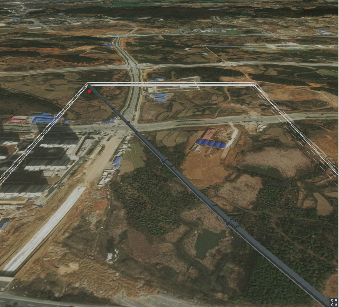
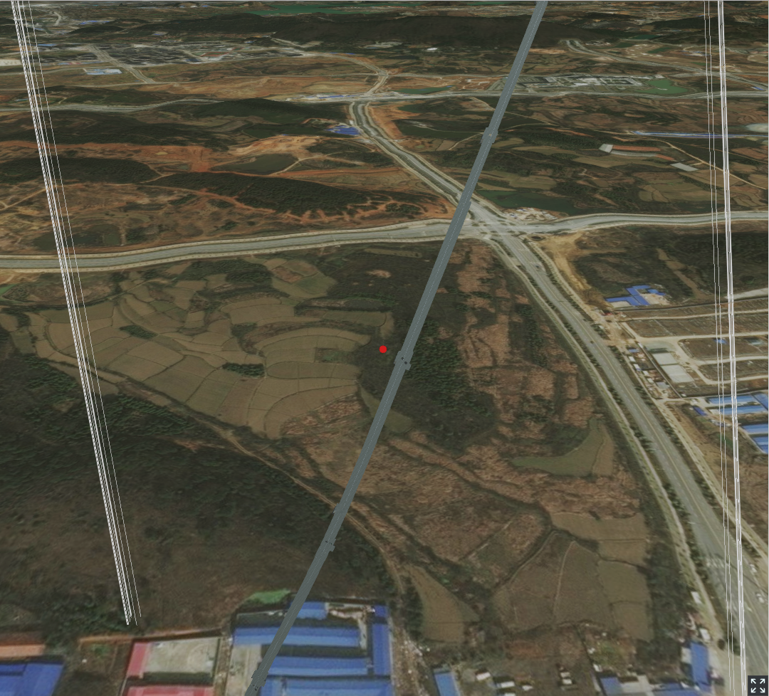
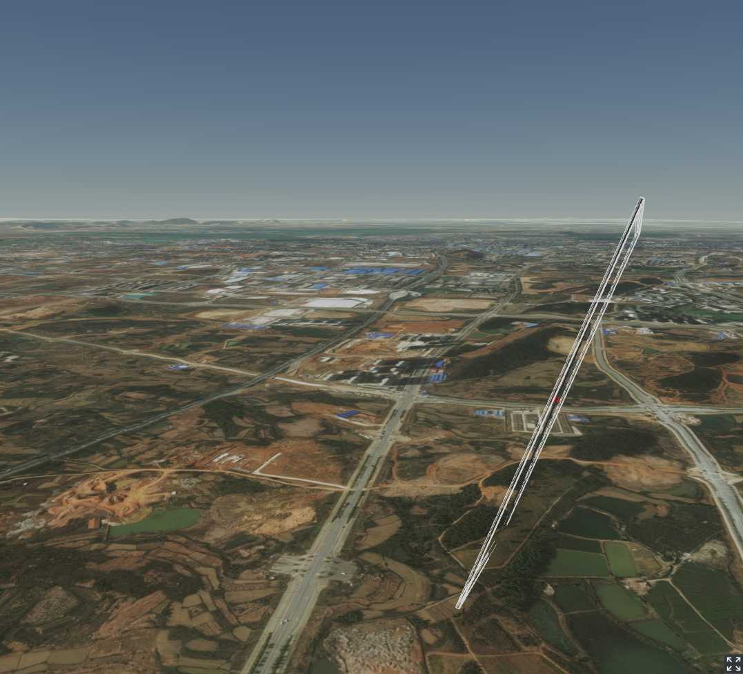
The model Rotation was wrong. I have try lot, but not work.
from 3d-tiles-validator.
 bwyss
commented on May 24, 2024
bwyss
commented on May 24, 2024
With this tool you can create b3dm files that include the tileset.json : https://github.com/PrincessGod/objTo3d-tiles
from 3d-tiles-validator.
 aryanxk02
commented on May 24, 2024
aryanxk02
commented on May 24, 2024
Hey @lilleyse what exactly does the tileset.json do? I suppose it geographically locates the 3D model on the cesium globe. And how do I exactly create a tileset.json file for any 3D file format (mostly .b3dm, .i3dm, CityGML). Guidance on this is appreciated, Thank You!
from 3d-tiles-validator.
Related Issues (20)
- Refining the report format and report file handling
- Cycles in external tilesets are not detected HOT 1
- TypeScript compilation fails HOT 5
- Tool can't be packaged HOT 1
- Validator fails to resolve GLB from I3DM with URI with spaces
- Build broken? HOT 1
- Streamline the validation of arrays of objects
- 3DTILES_content_gltf ? HOT 3
- Allow validation of tile content files
- Geometric error inconsistencies should be a WARNING and not an ERROR
- Out of memory crash HOT 1
- glTF extension support? HOT 4
- ValidFeatureIdAttributeWithLargerFeatureCount.gltf not valid HOT 8
- ValidFeatureIdAttributeWithByteStride.glb not a 3D Tile HOT 1
- Tests with texture and nullFeatureid missing HOT 1
- PropertyAttributesPropertyAttributePropertyMaxMismatch.gltf is valid HOT 7
- Handle invalid alignments more graciously
- Missing 'refine' in root tile is not detected
- Simplify filtering of validation report files
- False positive regarding EXTENSION_FOUND_BUT_NOT_USED in child tileset HOT 1
Recommend Projects
-
 React
React
A declarative, efficient, and flexible JavaScript library for building user interfaces.
-
Vue.js
🖖 Vue.js is a progressive, incrementally-adoptable JavaScript framework for building UI on the web.
-
 Typescript
TypeScript is a superset of JavaScript that compiles to clean JavaScript output.
-
TensorFlow
An Open Source Machine Learning Framework for Everyone
-
Django
The Web framework for perfectionists with deadlines.
-
 Laravel
A PHP framework for web artisans
-
D3
Bring data to life with SVG, Canvas and HTML. 📊📈🎉
-
Recommend Topics
-
javascript
JavaScript (JS) is a lightweight interpreted programming language with first-class functions.
-
web
Some thing interesting about web. New door for the world.
-
server
A server is a program made to process requests and deliver data to clients.
-
Machine learning
Machine learning is a way of modeling and interpreting data that allows a piece of software to respond intelligently.
-
Visualization
Some thing interesting about visualization, use data art
-
Game
Some thing interesting about game, make everyone happy.
Recommend Org
-
Facebook
We are working to build community through open source technology. NB: members must have two-factor auth.
-
Microsoft
Open source projects and samples from Microsoft.
-
Google
Google ❤️ Open Source for everyone.
-
Alibaba
Alibaba Open Source for everyone
-
D3
Data-Driven Documents codes.
-
Tencent
China tencent open source team.
from 3d-tiles-validator.