Jens Wiesehahn's Projects
evaluate tree species maps
Infografik zur vierten Bundeswaldinventur
A logical, reasonably standardized, but flexible project structure for doing and sharing data science work.
🌴 Research on land use patterns in Jambi within the CRC990 project
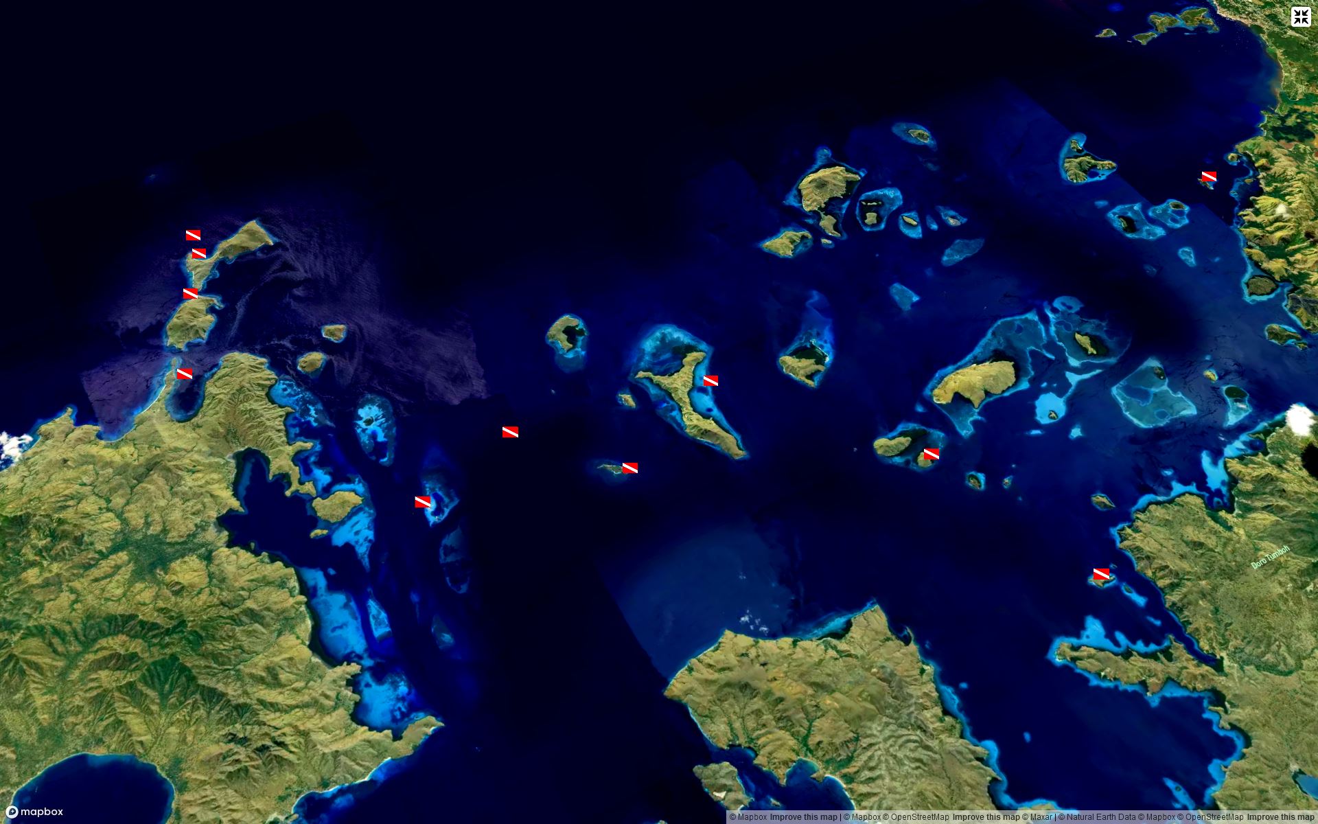
Webmap of dive spots. Created to test capabilities of Mapbox GL JS with multile layers and blending options.
Tutorials and content created by Earth Engine users, for Earth Engine users
A Python package for interactive mapping with Google Earth Engine, ipyleaflet, and ipywidgets
Informationen und Resourcen rund um das Thema Datenschutz bei Geodaten
Analysis of GNSS signals received by mobile devices in university class
Test and compare compression types for geospatial imagery
test and show capabilitiet to work with open data provided by LGLN in R
Gather information about the data availability of lidar data (mainly airborne laserscanning, ALS) in Germany, Europe and worldwide.
Personal space to organize information on the topic of lidar (mainly airborne) for forestry
Presentation about selected use-cases of ALS lidar data for German forestry
R package for airborne LiDAR data manipulation and visualisation for forestry application
Extra functions and algorithms for lidR package
What the Package Does (One Line, Title Case)
enhancing myanmar's higher education system
A minimal Jekyll Theme to host your resume (CV)
Create plot maps for forest inventory data from Fassberg
Integration von ALS-Daten für ein verbessertes Waldschadensmonitoring
Enhancing forest disturbance monitoring with ALS data integration
template repository to use for data science projects
Template repository to provide a starting point for my presentations
Template repository for my quarto websites, including github actions to build github pages website.
test webmapping with react
Review about reference data collection for classification (specifically tree species using random forest)
Simple requirements.txt based example